ROADS
- 5 min to read
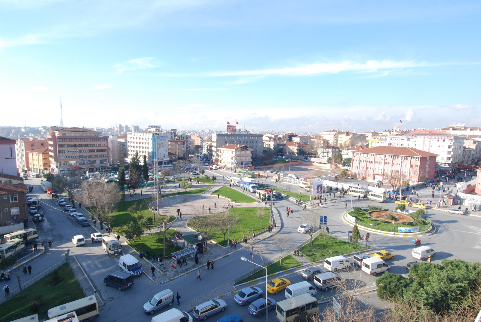
About the city. It is difficult for a city with hundreds of kilometres of roads to know exactly where and when problems arise. That is why all cities have channels of communication for complaints and a strong management system complaints, but the Bagcilar Municipality wanted to take another step forward. Instead of managing the complaints, the city can control the source of the complaints, preventing what can become a problem one day. The city of Bagcilar wanted to get ahead of the complaints, knowing exactly what was happening and where having a map of road damage and their constant preventive maintenance. To do this, they needed two solutions: data on road damage on all roads and a system for managing this data, turning it into operations.
Goal
The project aims to solve the problems of road maintenance.
Implementation period. The project was implemented in 2018.
Fact
‘Roads’ digitally isolates the damage. It detects and represents the severity of the damage, so citizens can save up to 90% of road maintenance costs through early intervention or preventive maintenance for upcoming issues and reduce citizen complaints by up to 50% by fixing high-priority issues.
Solutions
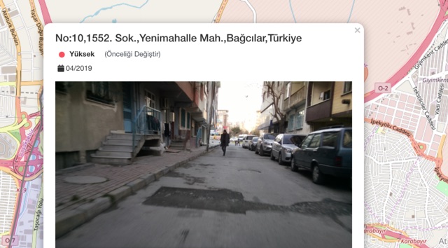
With the help of Roads, the city of Bagcilar, regularly scans their roads, constantly generating data on where they are damaged, when and what the priority of this damage is. Roads is an IoT road damage analyser that automatically sends information to the cloud daily. Then this data is used to provide dispatching maintenance teams with daily tasks. Closing each pothole as they are found. Citizens can easily report and confirm hundreds of damages along with their photos and priorities.
This results in fewer complaints and significantly lower public works budget in the following years due to the very small number of potholes that occur after the previous ones are dealt with.
Challenges
Regular checkups with acoustic solutions were required for the accuracy of the data obtained. Image processing was implemented to detect road damage using vehicles to overcome this operational issue.
Team
Koçsistem, Seyisco Smart Cities
Timeline
-
Complaints were cut in half, the efficiency of personnel was increased.
-
The solution is currently being replicated in multiple cities. New sensors are being added to vehicular systems to generate more data for more departments and operations.


If you notice an error or inaccuracy in our editorials, please email [email protected] so we can look into it.