The Boston Urban Wilds Initiative (UWI)
- 5
- 12 min to read
About the city. Boston’s natural landscape once looked very different than it does today. Salt marshes covered most of East Boston and lined Dorchester’s shoreline. Meadows dotted the hilltops of Roxbury. Pristine streams flowed through Hyde Park and West Roxbury. Over time, urbanization and human activity altered Boston’s natural landscape. Pieces of these ecosystems still exist throughout the City and offer a glimpse into the natural world. These areas are known as urban wilds.
Goal
There are several program goals:
- protect City-owned urban wilds and other natural areas from threats such as development, encroachment, and other uses that may harm their natural character;
- manage and maintain City-owned urban wilds and other natural areas to preserve their ecological value;
- promote conservation, passive recreation, environmental education, and other similar uses at City-owned urban wilds;
- develop administrative, fiscal, and programmatic resources to ensure ongoing, long-term maintenance and management of City-owned urban wilds and other natural areas; and
- advocate for the long-term protection and stewardship of other urban wilds and natural areas that are not currently owned by the City.
Implementation period. The roots of the initiative are from the 1970s, but it has been in practice since 1989. In 1998, The Parks Department took a major step toward stewardship and preservation of city-owned urban wilds and other natural areas.
Fact
The Boston Parks and Recreation Department oversees 2,200 acres of parkland, including 215 parks and playgrounds, 65 squares, urban woodlands and street trees, three active cemeteries, 16 historic burying grounds, and two golf courses. Over the last ten years, the Parks Department implemented a $120 million rehabilitation of the City park system targeting every tot lot and the majority of ball fields and courts.
Solutions

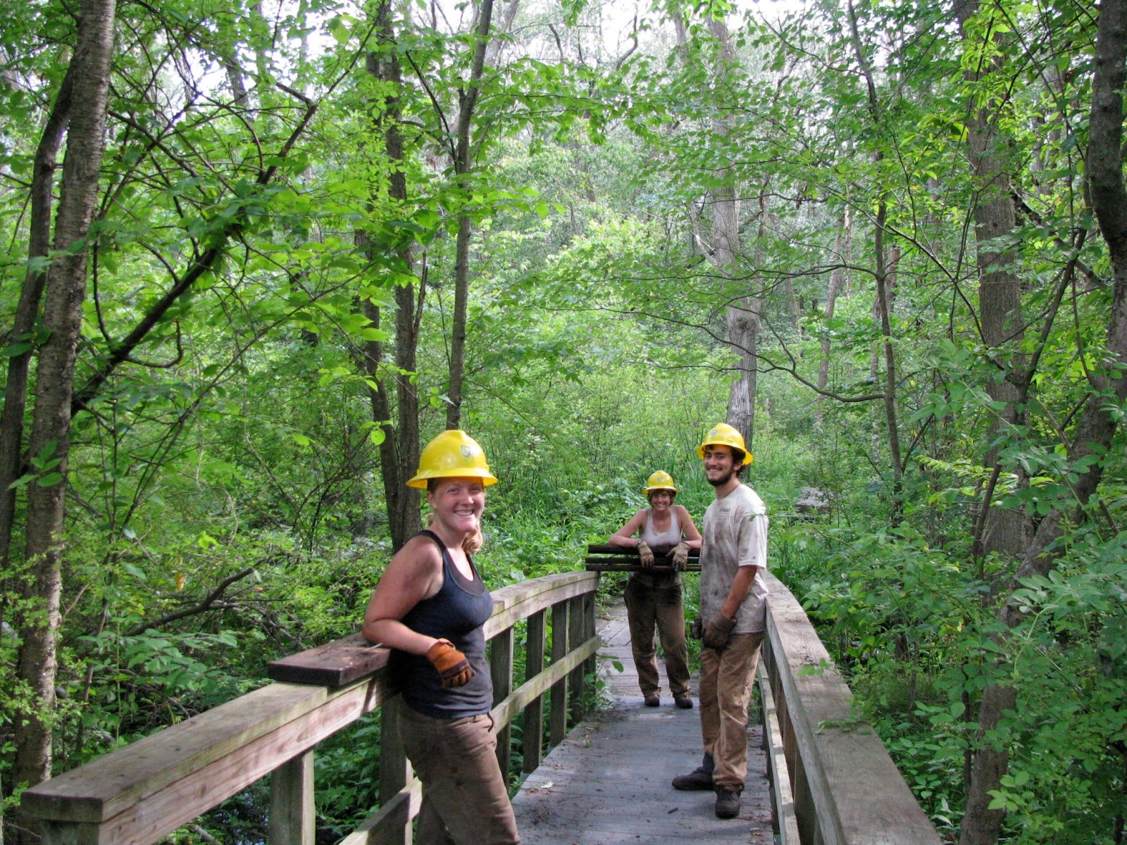
The City of Boston manages and takes care of 29 urban wilds across neighbourhoods. These urban wilds offer a peaceful break from Boston’s urban environment. They serve as outdoor classrooms for children and adults to learn about nature and provide habitat to native plants and animals. Additionally, urban wilds perform many ecological services, such as storing floodwater, filtering stormwater run-off, producing oxygen, and reducing the “urban heat island” effect.
Condor Street Urban Wild
For example, nearly 20 years ago, SumCo Eco-Contracting co-founders Chad and Travis Sumner created this 25,000 square foot saltwater marsh in Chelsea Creek, Boston, an early Living Shoreline. Condor Street Urban Wild was developed into a well-groomed territory. The work was carried out in The Wetlands Reserve Program (WRP) as well, but for now, it is already closed.


Allandale Woods, Bussey Brook Urban Wild
Another nice example might be Allandale Woods. As Boston’s second-largest unfragmented woodland, Allandale Woods is a crucial component of the city’s natural areas inventory. Allandale Woods is located west of Arnold Arboretum on the Jamaica Plain/West Roxbury line and is bordered roughly by Allandale Street, Centre Street, the VFW Parkway, and Hackensack Road. The acquisition of a portion of the conservation land at Allandale Woods in 1975 represented the first step in creating the Charles-to-Charles Open Space Corridor, an 8-mile open space belt of existing parkland, private estates, and wetlands that stretches from the Fens and the Charles River Basin, along the Boston/Brookline boundary, and through the Sawmill marshes to the Charles River in West Roxbury.
Composed primarily of oaks, maples, and pines, Allandale Woods is one of the few relatively pristine secondary growth oak-hickory forests in the city of Boston. Trails, recently rehabilitated in 2009 in partnership with summer youth conservation crews from Boston Natural Areas Network and Student Conservation Association, run throughout the site leading to various areas of interest including scenic Rock Pond, an extensive Depression-era stone boundary wall, a cattail marsh, intertwining streams that form the Bussey Brook headwaters, underground springs, a historic spring house, and a certified vernal pool.
Tucked between the Forest Hills Station and the Arnold Arboretum, the Bussey Brook Urban Wild, also called the South Street tract, has recently been incorporated into the arboretum. As part of the annexation, a stabilized stone dust pathway was constructed through the wild from Forest Hills Station to South Street. Select areas were cleared of prior vegetation and replanted. However, the majority of the site remains in its former condition. Boasting a small section of Stony Brook, this is the last area where the brook can be seen before it is funnelled into the conduit to the lower basin of the Charles River. As a low-lying area, the wild is composed of a marsh and upraised filled land.

Team
The Boston Parks and Recreation Department; the Environment, Energy, and Open Space Department.
Timeline

The Boston Urban Wilds Initiative (UWI) has its roots in the environmental movement of the 1970s. In 1976, the Boston Redevelopment Authority (BRA), which is now the Boston Planning & Development Agency (BPDA), published a landmark document called Boston’s Urban Wilds: A Natural Area Conservation Program. This document inventoried 143 areas in the City and offered recommendations for Boston’s remaining natural areas. This included both privately- and publicly-owned land.
In response to this report, the Boston Natural Areas Fund (BNAF) was incorporated in 1977 as a nonprofit organization to work with the city and state agencies to secure the inventoried urban wilds. With BNAF assistance, the City acquired more than 48 acres of land. BNAF, in cooperation with the Massachusetts Audubon Society, developed environmental educational programs at several urban wilds to foster understanding and proper use of these sites. Despite the heightened concern, accelerated development continued to encroach upon the numerous pristine, unprotected wilds.
In 1990, BNAF issued a second call to arms with an updated urban wilds report documenting the loss of several important sites and stressing the need for increased protection of privately-owned natural areas. To confront stewardship challenges outlined in the report, the Boston Youth Clean-up Corps (BYCC) was enlisted to provide regular clean-up and vegetation control in the summer months while the Parks Department’s Maintenance Division supplied some spring and fall support. More recently, neighbourhood, corporate, and non-profit groups have also been recruited for clean-ups and special projects.
Despite supervision by the Parks and Recreation Department since 1989, consistent stewardship remains a challenge due to limited resources and/or a lack of grass-roots support. Furthermore, except properties under Boston Conservation Commission and Parks Department jurisdiction, urban wilds under the city and private ownership are continuously threatened by potential development.
Besides the Parks Department and Conservation Commission, the MA Department of Conservation and Recreation (DCR) has also aggressively sought to protect significant parcels of land. Large sites identified in the 1976 BRA report, such as Sawmill Brook (Brook Farm) in West Roxbury and the Belle Isle Marsh Reservation in East Boston, are now owned by the DCR, as are a series of open spaces along the Dorchester shoreline and Neponset River. These acquisitions provide permanent protection to the city’s largest and most important remaining habitats.


If you notice an error or inaccuracy in our editorials, please email [email protected] so we can look into it.